About Us
Who We Are
Specialized Expertise
Your Ideal Partner in Geospatial Surveying and Intelligence
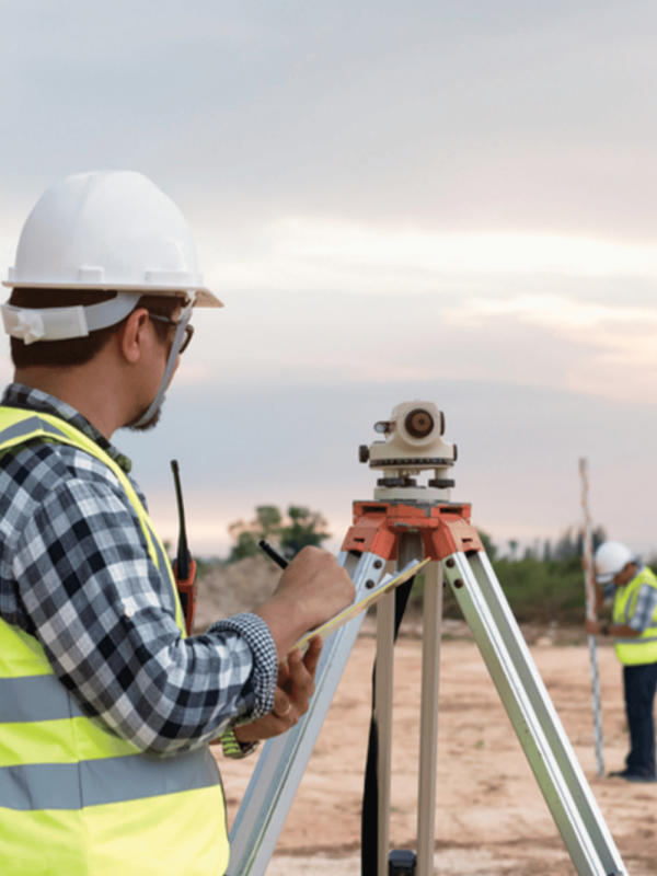
With over 15 years of experience and over 2,000 completed projects across the Kingdom of Saudi Arabia, Specialized Expertise provides comprehensive geospatial solutions in sectors such as energy, infrastructure, transportation, and urban planning.
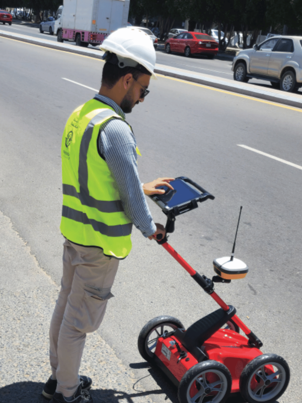
Using advanced technologies, including lidar-enabled drones, mobile mapping, GIS solutions, Subsurface GPR scanning, and 3D modeling, we deliver accurate and actionable data to support critical decision-making

Who We Are
At specialized expertise
Your Precision Partner in Surveying & Geospatial Intelligence
With over 15 years of experience and more than 500 completed projects across Saudi Arabia, Specialized Expertise delivers end-to-end geospatial solutions across sectors such as energy, infrastructure, transport, and urban planning.
Utilizing advanced technologies—including UAVs with LiDAR, mobile mapping, GIS solutions, and 3D modeling—we provide accurate, actionable data to support high-stakes decision-making.
- Our Vision
To become the leading integrated
geospatial and surveying firm in the Kingdom and the region — enabling sustainable growth, smart urban expansion, and national development aligned with Vision 2030.
Our Mission
To deploy the most advanced surveying and geospatial technologies — from True Orthophotos and 3D visualizations, to contour mapping — while upholding global standards in quality, safety, and governance, delivering precise data engineered for excellence.
Our Core Values
- Precision
- Professionalism
- Innovation
- Flexibility
- Transparency
- Sustainability
- Client-centric
Your success is the yardstick of our value. |
Delivering data you can depend on for strategic decisions.
High-caliber teams with field and office excellence.
Continual adoption of tools.
Continual adoption of tools.
Adaptable solutions for diverse terrains and sites.
Total clarity in communication and process.
Balancing technical performance with environmental care.

Vision
To become the leading integrated geospatial and surveying firm in the Kingdom and the region — enabling sustainable growth, smart urban expansion, and national development aligned withVision 2030.

Mission
To deploy the most advanced surveying and geospatial technologies from True Orthophotos and 3D visualizations, to contour mapping while upholding global standards in quality, safety, and governance, delivering precise data engineered for excellence.
Our Core principals
Precision
Delivering data you can depend on for strategic decisions.
Professionalism
High-caliber teams with field and office excellence.
Innovation
Continual adoption of tools.
Success Partners
Proudly building strategic partnerships that drive success




- Why Choose Us
Discover Our professionalism and Contractors Work.
Sectors We Serve
Oil & Gas
Energy & Utilities
Transportation & Ports
Infrastructure & Real Estate
Agricultural Development
Economic Cities
Urban & Rural Land Management


